TAEBAEK
-
City Profile
Name: Taebaek (Republic of Korea)
Population (July 2024): 38,137
Area: 303.4 km2
Latitude: 37°03’ー37° 20′ N
Average temperature in 2023: 10 °C
Highest temperature in 2023: 29.2 °C
Lowest temperature in 2023: -21 °C
Total snowfall between Oct. 2023 and May 2024: 133.3 cm
City symbols: Peony (city flower), Yew Tree(city tree), Eurasian Jay (city bird)
Flag of Taebaek

Sister Cities & Friendship Cities
-
Sister cities: Helong (China), Baguio (Philippines), Bauang (Philippines)
Friendly cities: Changchun (China), Megeve (France), Wuhan (China), Gaoan (China), Saipan (U.S.A.), Xianning (China), Zakynthos (Greece)
City PR
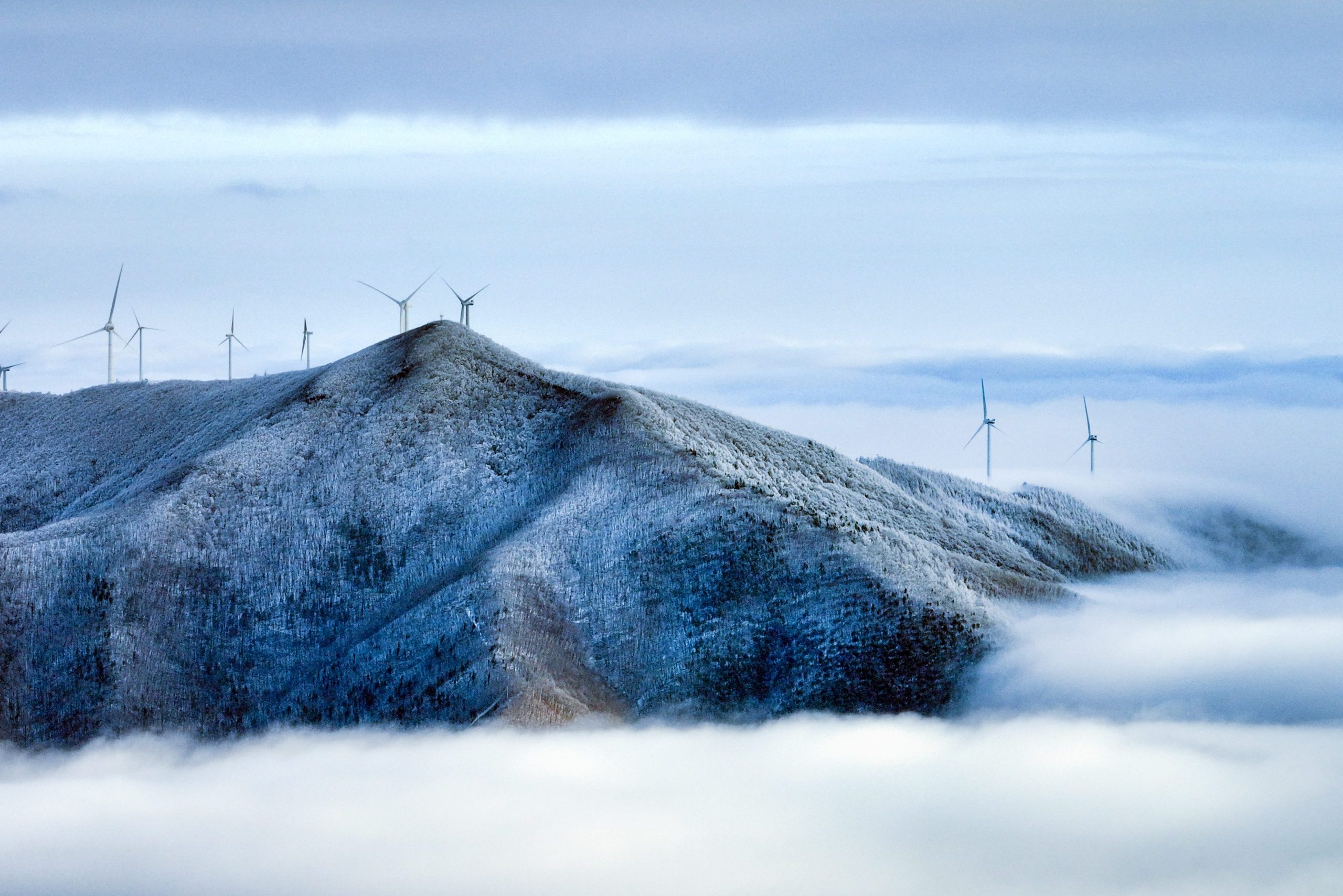
Taebaek City, the highlands city holding cleanest air at the altitude of 900m! Glaring Milky Way fully twinkles in the peaceful summer night sky. The cool wind from the highlands soothes your weary mind. Now and here, we’re sincerely pleased to invite you to the City of Taebaek.
Taebaek City has three origins of Korea. The first origin is ‘Taebaek Mountain’, the origin of the Korean people. The second origin is ‘Geomnyongso’, the source of the Han River. The third origin is ‘HwangjiPond’, the source of the Nakdong River.
Taebaek City is lively in all seasons. 80 sports competitions are held every year. During summertime without tropical nights, numerous athletes visit the city for training. During the winter, the O2 ski Resort at the altitude of 1,420m, is full of tourists. The quality of snow made of river source water gets top rated by many skiers.
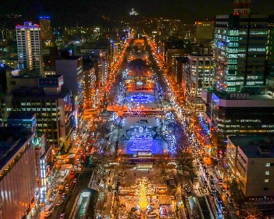
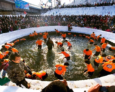
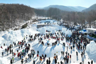
‘Taebaek Mountain Snow Festival’ is the representative winter festival of Korea. Every year, a lot of tourists visit this festival. You can experience diverse activities such as a Giant snow sculpture display, Igloo cafe, Korean traditional winter games and etc.
More Information
-
Official City websites
-
・【English】: https://www.taebaek.go.kr/eng/index.do
-
・【Chinese】: https://www.taebaek.go.kr/chi/index.do
-
・【Japanese】: https://www.taebaek.go.kr/jan/index.do
-
・【Korean】: https://www.taebaek.go.kr/www/index.do
-
City Tourism websites
-
・【English】: https://tour.taebaek.go.kr/en
-
・【Chinese】: https://tour.taebaek.go.kr/zh
-
・【Japanese】: https://tour.taebaek.go.kr/ja
-
・【Korean】: https://tour.taebaek.go.kr/tour
-
Facebook: https://www.facebook.com/taebaekcity
Instagram: https://www.instagram.com/taebaek_city
City introduction video: https://www.youtube.com/@taebaekc
Location